Thinking about a Cape Coral waterfront home but not sure if your boat will fit the canals? You are not alone. The difference between sailboat access and bridge-restricted canals can make or break your boating lifestyle and your purchase decision. In this guide, you will learn how to match your boat to the right neighborhood canals, how to measure air draft and depth, and how to plan realistic routes to open water. Let’s dive in.
Sailboat access vs. bridge-restricted
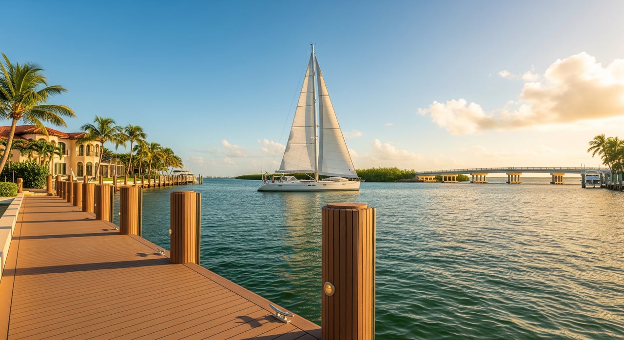
Sailboat access means you can reach the Caloosahatchee River and Pine Island Sound without passing under low fixed bridges that block mast-up vessels. Routes may include movable bridges that open on request, but there should be no low, fixed spans that set a hard height limit.
Bridge-restricted means one or more low fixed bridges sit between your dock and open water. These can be small vehicular or pedestrian bridges on interior canals. They are fine for low-profile powerboats, but taller sailboats cannot pass without unstepping the mast.
Why air draft and draft matter
- Air draft is the distance from your boat’s waterline to its highest fixed point. For sailboats, that is usually the masthead or any antennas or instruments mounted higher.
- Vertical bridge clearance is the posted height under a bridge at a specific water level, often mean high water. The posted number can change with tides or seasonal water levels.
- Draft is how deep your boat sits in the water. In shallower interior canals, draft can matter as much as air draft.
A simple rule: your air draft plus a safety buffer should be lower than any bridge clearance on your route, and your draft should comfortably fit the canal depth at mean low water.
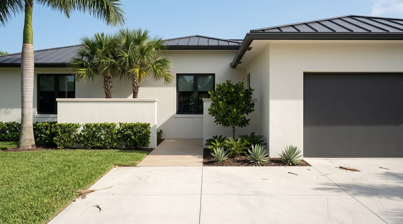
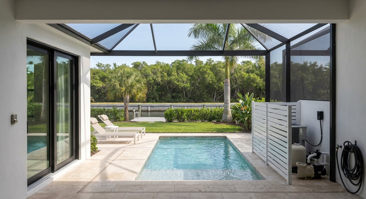
How Cape Coral’s canals connect
Cape Coral is known for an extensive canal system with hundreds of miles of waterways. These canals vary in width, depth, and how directly they connect to the Caloosahatchee River. From the river, you can continue toward Pine Island Sound and the Gulf approaches.
Two types of waterways shape your experience:
- Main or arterial channels are wider and deeper, used to reach marinas and the river.
- Interior neighborhood canals can be narrower and shallower and sometimes include low fixed bridges or community bridges.
Local marinas such as Cape Harbour, Tarpon Point Marina, and the Cape Coral Yacht Club/Marina are useful reference points when you evaluate draft, mast height operations, and typical vessel types in each area.
Measure your boat before you shop
Before you tour homes, take accurate measurements and note your operating profile.
- Measure your air draft from the waterline to the highest fixed point with the boat loaded as you use it. Include antennas, wind instruments, radar, and dinghy davits if they sit high.
- Add a safety margin of 2 to 3 feet to your air draft to account for tides, wakes, and water level changes.
- Record your draft, then ask for water depth at the dock and along the canal at mean low water.
- Note your typical cruising speed under power so you can estimate real travel times.
A little measuring prevents big surprises later.
Verify every bridge on your route
Create a clear picture of your path from the property to the river.
- List each bridge along the way and note whether it is fixed or movable.
- Confirm posted vertical clearances and whether they are measured at mean high water or another reference.
- If a bridge is movable, note the operation details and any radio or schedule requirements.
- Use authoritative sources for updates and details such as NOAA nautical charts, U.S. Coast Guard notices, the City of Cape Coral or Lee County transportation departments, and local marinas or harbormasters.
Bridge clearances and operating rules can change. Always verify the most current information before you make an offer.
Neighborhood clues: sailboat-friendly vs. restricted
Look for traits that signal easier mast-up passage.
Sailboat-friendly indicators:
- A continuous route to the Caloosahatchee River without low fixed bridges.
- Wider, straighter canals with room to turn and maneuver.
- Proximity to marinas that routinely serve mast-up sailboats and larger craft, including areas near Cape Harbour and Tarpon Point.
Bridge-restricted indicators:
- Interior canals that branch multiple times before reaching a main channel.
- Low fixed pedestrian or neighborhood bridges across canals.
- Tight turning radiuses and shallower pockets near canal ends.
These are clues, not guarantees. Always confirm the exact bridges and depths for the specific property and route.
Plan your route and travel time
Once you understand the path from the dock to open water, estimate time realistically.
- Calculate distance in nautical miles using charts or a navigation app. Include the interior canal leg, the main canal, and the river stretch.
- Use the formula Time = Distance ÷ Speed. At 6 knots, you cover 1 nautical mile roughly every 10 minutes.
- Account for slow zones. Narrow canals and no-wake areas add time. Bridge openings can require waits.
- Consider river currents, tide, sea state, and daylight if you expect bridge openings in the evening.
Example: If your dock-to-river route is 4 NM at slow canal speeds plus 6 NM on the river at 6 to 8 knots, your total could range from about 1.5 to 2 hours, depending on wake zones, current, and any bridge waits. This is a planning example. Your exact time depends on boat speed and actual distances.
Powerboat vs. sailboat trade-offs
- Powerboats with low air draft handle bridge-restricted canals well and often move faster on river legs.
- Sailboats require an unobstructed air draft route unless you plan to unstep the mast or keep the boat at a marina.
- If your preferred home is in a restricted area, you can keep a sailboat at a nearby marina while using a smaller runabout at the house. Consider the added cost and convenience.
Choosing the property with the right canal type can reduce ongoing costs and simplify your boating days.
Practical buyer checklist
Before you make an offer on a waterfront property, verify the following:
- Water depth at the dock at mean low water and recent sounding information if available.
- Every bridge on your route, including number, type, and posted vertical clearances with the reference datum.
- Your vessel’s measured air draft, including all fixed gear, plus a safety margin.
- Canal width at your dock and turning radius on the way out.
- Seawall condition and mooring setup that fits your boat’s size and draft.
- Any HOA or deed restrictions on boat size, lifts, liveaboard rules, and dock design.
- Local permitting requirements for docks, boat lifts, or seawall work with the City of Cape Coral and Lee County.
- Local knowledge from marinas, harbormasters, and neighbors who run the same route.
- Insurance considerations related to access and storage of your vessel.
A written checklist keeps your due diligence organized and complete.
Permits, rules, and seasonality
Docks, boat lifts, and seawalls typically need permits from the city or county, and sometimes state approvals if submerged lands are affected. Confirm the property’s permitting history and whether the existing dock or lift meets current codes.
Expect no-wake zones and manatee protection areas. Plan to obey posted speeds and be mindful of environmental and navigational restrictions. Review local tide tables before low-clearance passages. During hurricane season, have a plan for securing your boat and lift, and for relocating the vessel if needed.
How we help you buy with confidence
Selecting the right Cape Coral waterfront home is about matching your boat, your routes, and your lifestyle. You deserve a clear, low-stress experience. The Pyle Group’s local knowledge and concierge approach help you:
- Pre-screen properties for bridge and depth realities that fit your boat.
- Coordinate with marinas and harbormasters for on-the-water confirmation.
- Navigate permits, HOA rules, and closing details, including remote or seasonal logistics.
Ready to find a waterfront home that truly works for your boating plans? Connect with Donna Pyle to Set Up a Consultation.
FAQs
What does “sailboat access” mean in Cape Coral?
- It refers to canal routes to the river and Pine Island Sound that do not include low fixed bridges, allowing mast-up sailboats to pass without unstepping the mast.
How do I measure my sailboat’s air draft for canal bridges?
- Measure from the waterline to the highest fixed point on your boat when loaded for cruising, include antennas or instruments, then add a 2 to 3 foot safety margin.
How can I estimate time from my dock to open water?
- Add the canal and river distances in nautical miles and divide by your cruising speed, then include no-wake zones, possible bridge waits, and current.
What permits might I need for a dock or lift?
- Docks, lifts, and seawalls typically require permits with the City of Cape Coral or Lee County, and sometimes state approvals if work affects submerged lands.
What if a fixed bridge on my route is too low for my mast?
- Consider a different property with unobstructed access or plan to keep the boat at a nearby marina while using a smaller powerboat at the home dock.